AERIAL TOPOGRAPHIC SURVEY
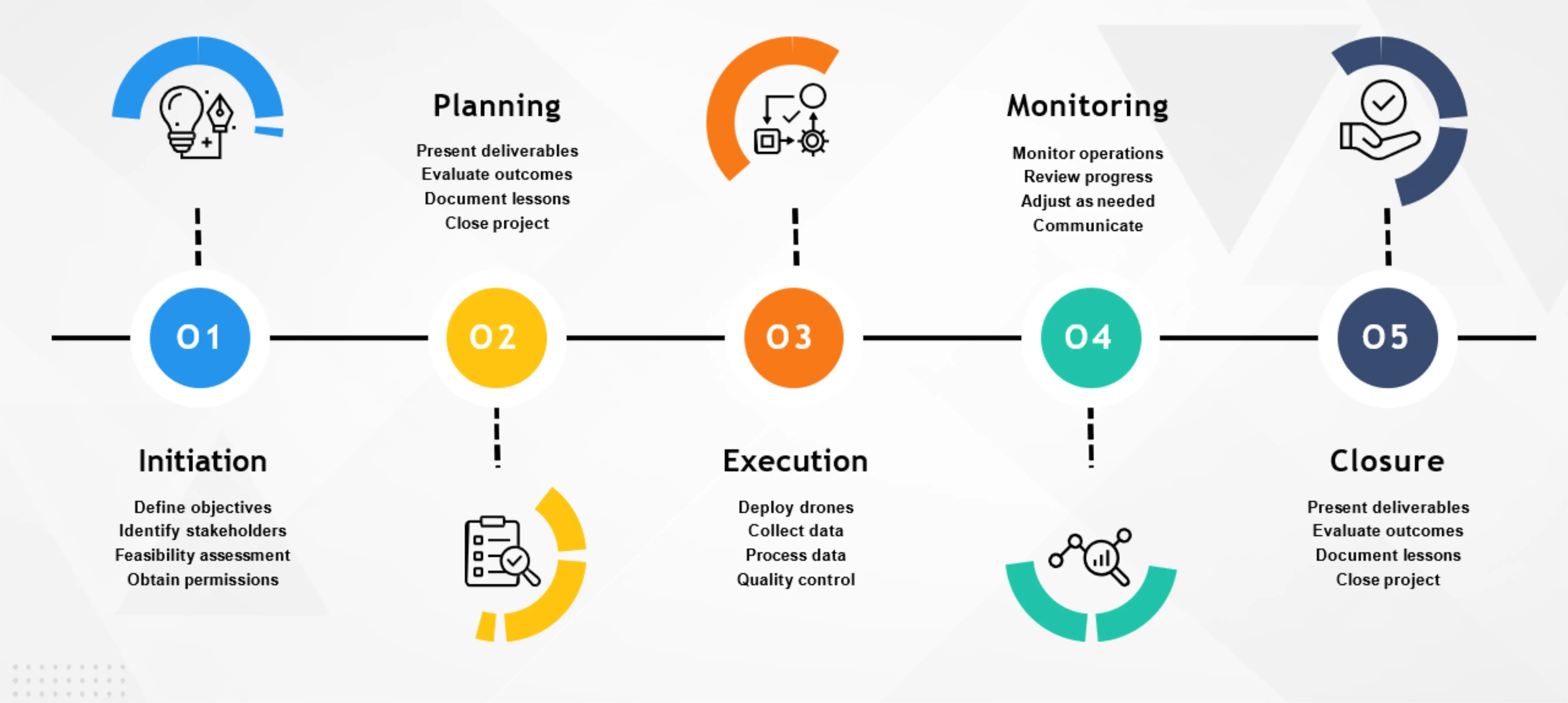
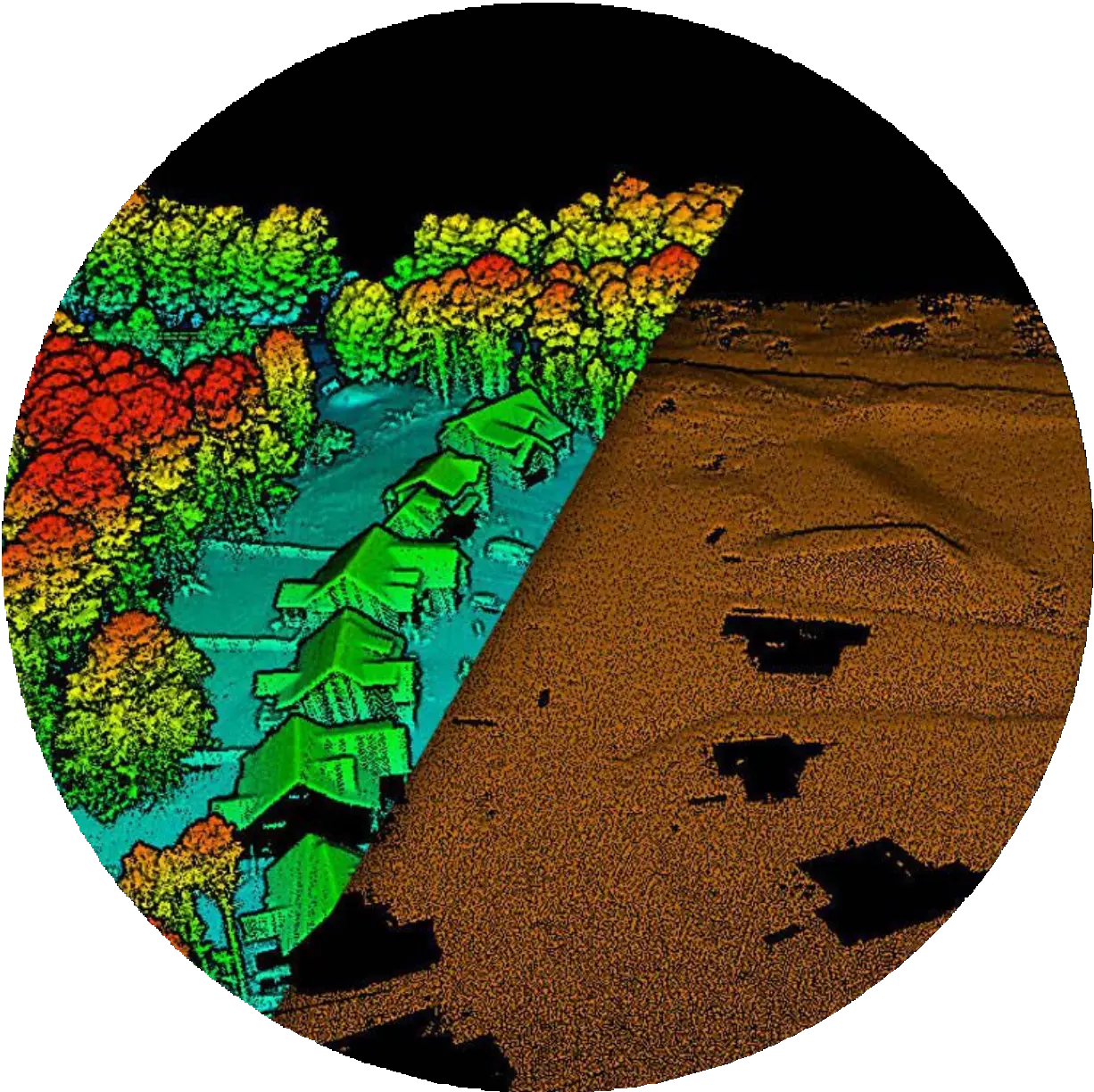
Transforming the way topographic surveys are conducted, our drone-based approach offers unmatched flexibility, accessibility and efficiency, ensuring optimal results for every project.


Transforming the way topographic surveys are conducted, our drone-based approach offers unmatched flexibility, accessibility and efficiency, ensuring optimal results for every project.
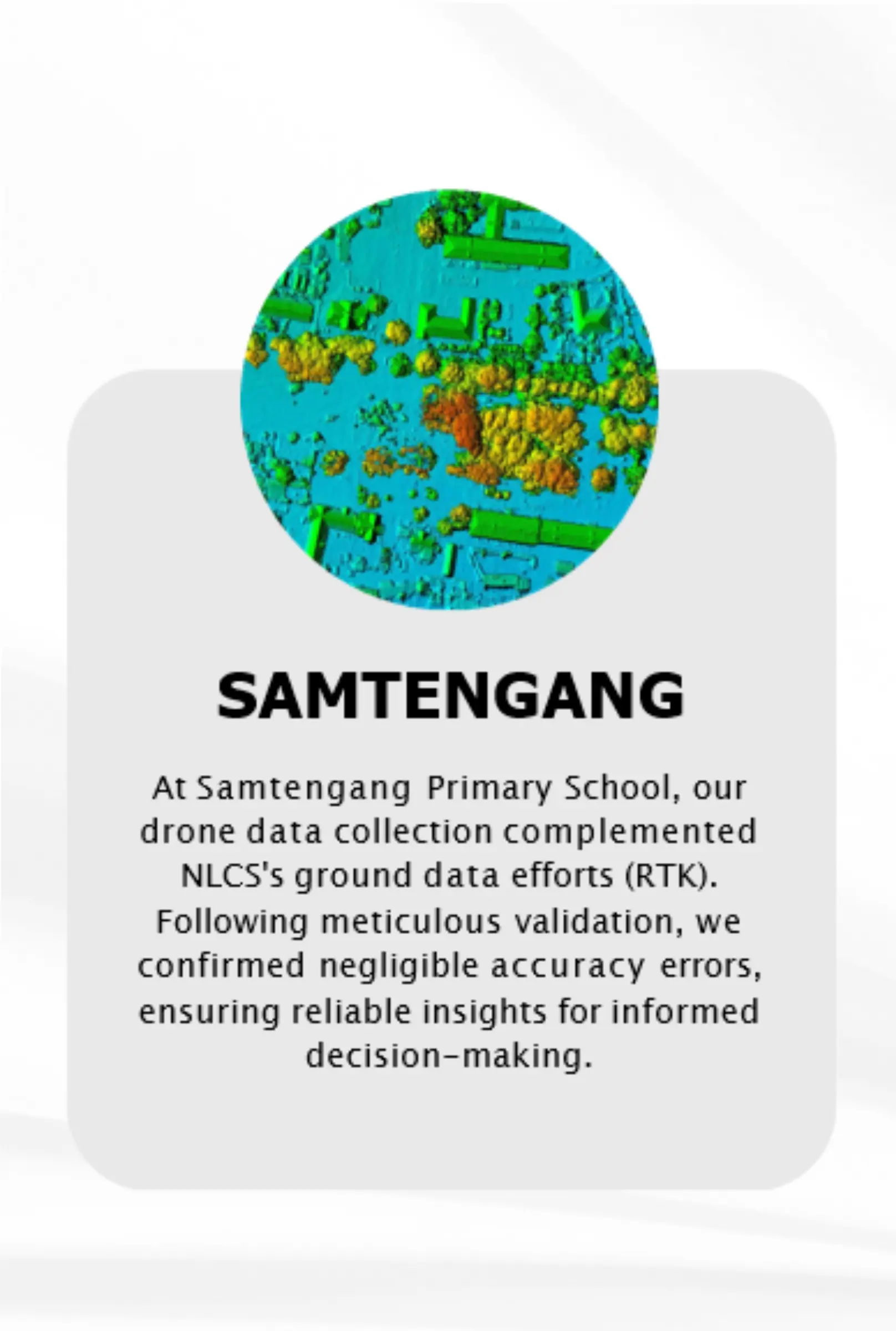
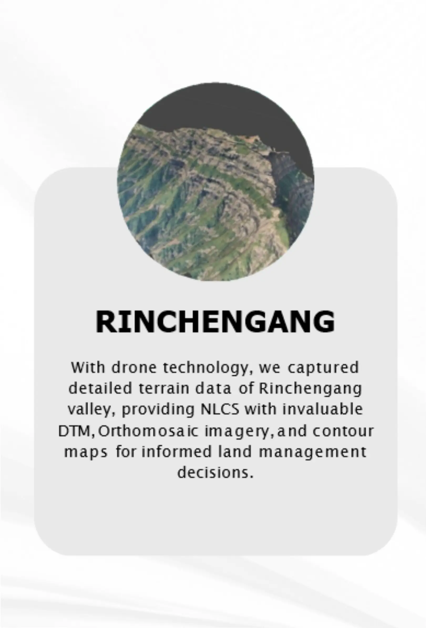
For Chari Base hydrological mapping, drone imagery provided detailed terrain data. Rigorous analysis, including multi-hazard risk assessment, identified flood-prone areas, informing proactive disaster management planning and enhancing flood resilience.
Thrilled to share that we are capturing aerial videography to document the impressive progress at the 5 Gyalsung site development. The footage captures the evolution of your project in stunning detail. Can't wait to show you the incredible transformation!